Parking in Downtown Providence

In a recent post, I analyzed parking options near the proposed site on the 195 land for a new minor league baseball stadium. I concluded that there are about 7500 parking spaces within a short walk of the location, compared to fewer than 5000 near McCoy Stadium in Pawtucket. Many of those spaces are in private surface lots, and following on the work of Greater City Providence, here are other surface lots deadening downtown:

Good news for downtown

There is some positive movement in replacing desolate surface lots with more productive land use. These locations are colored green above:

  1. Recent news indicates that Buff Chace of Cornish Associates is planning to buy the old Providence Journal building on Fountain Street, as well as its two associated lots across Fountain Street. He plans to develop these two surface lots into multi-story mixed-use buildings.
  2. As soon as three purchase-and-sale agreements are complete on the 195 land, development of a parking garage next to Garrahy Courthouse can commence. The emphasis on ground level retail in this plan makes it good news, as structured parking can strengthen the argument for replacing surface lots. Without ground level retail, a garage would be nearly as bad for downtown’s street life as a surface lot.

More work to be done

There is a long way yet to go, however. Real estate development is not easy, and it is based on hard financial numbers. But based on their size and location, here is my ranked list of important surface lots to develop into buildings:

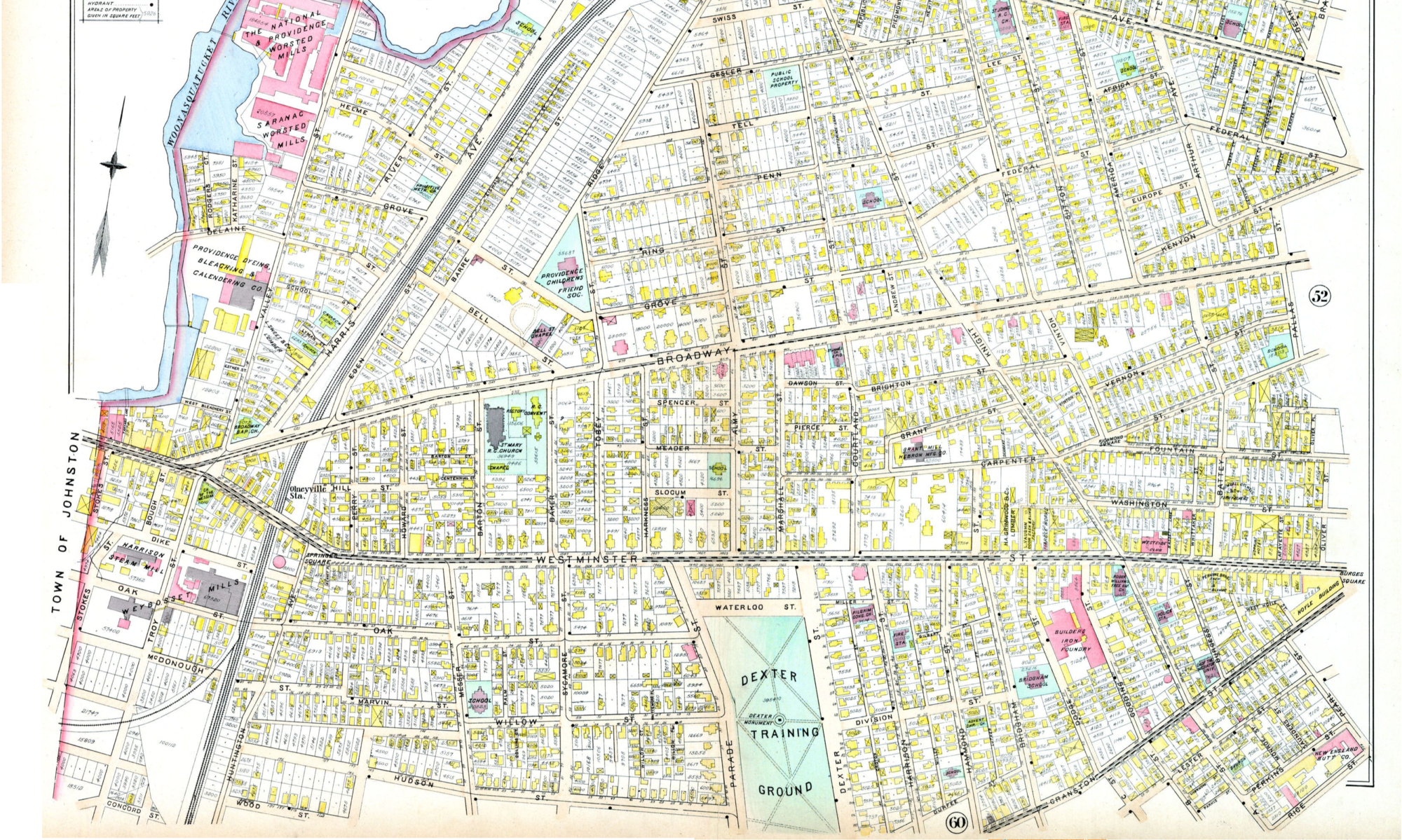
  1. Westminster & Snow: The two lots on either side of Westminster at Snow Street suck the life out of an otherwise vibrant corridor between Empire Street and Dorrance Street.
  2. Orange & Friendship: This intersection is in the middle of a bleak parking crater. The prime location near the river and Johnson & Wales ought to make this the perfect location for some street-activating land use.
  3. Weybosset & Union: The lot directly behind Grants Block receives a lot of exposure due to that parcel’s revitalized use as public space. It is also in one of the most active parts of downtown. A perfect location with many potential customers walking by.
  4. Washington & Snow: Washington Street is planned as a vibrant cultural corridor, and already has many excellent locations making it active. Despite its relatively small size, this surface lot next to the AS220 building sticks out because the remainder of the streetscape is so continuous.
  5. Clemence & Washington: Located behind the svelte, 13-foot-deep Arnold Building currently under renovation by the Providence Revolving fund, this lot is back from the main street (a quality that makes it less bad than lots that do front main streets) but its size and contribution to the sketch-factor of Clemence Street drive it up on my list. Besides, alleys like Clemence are sexy places to activate these days, and a structure connecting to the back of the Arnold Building and with attractive entrances on Clemence would be spectacular.
  6. Broadway, Atwells, and Greene: This intersection feels super dangerous when you’re walking. Part of that is because of the wide roads with a confusing traffic pattern, but it’s also partly because of the two massive lots serving the Providence Public Library and the Hilton Providence. There’s already a pedestrian barrier of the highway right next to these, and they contribute to an unattractive walk between the dense downtown and two of the West Side’s trendiest commercial corridors.

That’s my list for now. There are a number of other surface lots that could also do with redevelopment, especially in the Jewelry District and abutting the 195 land and the highway, but the above parcels are the most ripe for redevelopment.

On-street market pricing

Any mention of parking in downtown Providence would be incomplete without mention of better management of on-street parking. We have outdated meter technology that does not allow for payment by credit card. We have a flat hourly rate for parking, and free parking in the evening, which lead to the most desirable locations being inaccessible during the times when they are most useful. To fix this, we need new meters that allow for easy payment and easily adjusted pricing, and we need City Council to allow parking rates to change based on demand. There is no reason we should have to drive around for 15-30 minutes looking for on-street parking. The City should optimize parking rates for 85% occupancy of each block at all times of day.

Baseball stadium parking

mccoy parking

By now you may have heard the news that the Pawtucket Red Sox have been purchased by a new ownership team, and those new owners have announced their interest in moving the team away from their longtime home at McCoy Stadium in Pawtucket. The owners have said they would like to build a new stadium in downtown Providence, on the land made available by the moving of I-195.

Here are the parcels under the jurisdiction of the 195 Commission. Orange parcels are still available, gray parcels have pending purchase & sale agreements, and green parcels are set aside for parks. The blue line is the proposed route for a streetcar line. If you click on the different parcels below, you can see more information about them.

The new owners have announced (and it has been proclaimed far and wide in the media) that they are interested in the West Side parcel abutting the river. It should be noted that this would be difficult, because displacing the public park that is planned for that parcel would require a revision of the authorizing legislation. Even more tricky, it would require equal area in the district to be set aside for a replacement public park.

While I believe the adjacent site (parcels 22 & 25) would be a better place for the stadium, that’s not my biggest concern. Downtown Providence has a parking problem already. Storing cars is a horrendously inefficient use of land, and downtown Providence, the core of our city, is overrun with surface lots and street-deadening garages. We should all be concerned by this PawSox news that it would result in acres and acres of new asphalt wasteland in a place that desperately deserves to be a welcoming environment to walk or bike in. Parking is necessary when you’re expecting lots of people to come to the place you’re building, but it is my hunch that plenty of parking already exists close to the proposed stadium site.

So, to that end, I went to Google Earth and started counting parking spaces. Parking that is within 800 feet of a destination is close by, within 1200 feet is a medium distance, and within 1600 feet is a long but tolerable walk. Of course, for some people 100 feet is a big barrier; that’s why handicap parking spaces & permits exist.

Parking in downtown Providence

All those lots total about 2800 spots within a short walk, 4050 within a medium walk, and 5100 spaces within a long-but-tolerable walk, plus four garages that I couldn’t find space counts for (plausibly 200-500 spaces on average). Let’s estimate that those four garages total 1000 spaces.

There are over 200 street segments within a short walk as well, totaling more than 10 miles of street length. Based on parking spaces 32 feet long and a GIS analysis of the width of those street segments, there is room for about 1400 spaces of on-street parking within a short walk of the proposed stadium location as well.

That means, all told, a reasonable estimate of existing parking close to the proposed stadium site is 7500 spaces including both on-street and off-street. Of course, many of these spaces are used for other purposes as well. And there is no guarantee that their owners would be willing to enter into shared-use agreements with the stadium ownership. However, the number is still twice the estimate cited in the ProJo last week for the number of parking spaces required to fill the stadium.

For comparison: McCoy Stadium parking

There are actually fewer spaces in parking lots around McCoy stadium than around the proposed site in downtown Providence. Within a short walk of the main gate (mostly on-site) there are only about 860 spaces, a medium walk will get you to 1220, and within a 1600 ft long walk, there are about 2400 spaces available in parking lots.

I don’t have the widths readily available for Pawtucket streets, so I assumed each street segment within 1600 feet of the stadium entrance was packed with cars along both sides of the street. Folks really love the PawSox. That would result in space for another 2400 cars, bringing the total parking capacity around McCoy stadium to about 5000 spaces.

In Conclusion

There’s a lot of parking in downtown Providence near the proposed stadium (7500 spaces by my count). It’s just also used for other things. I would encourage any owners of parking facilities downtown to contract with the stadium ownership for a shared-parking agreement. It would raise the economic tide for all of downtown.

The area around McCoy stadium, in contrast, has far fewer spaces; 5000 is a generous estimate. While the seas of asphalt around the stadium itself may be single-use (in other words, vacant and uninviting the rest of the time), about 4000 of those spaces are behind businesses, in hospital or school parking lots, or clogging both sides of residential streets with parked cars.

To look at it differently, McCoy Stadium has gotten along fine with no more than 1000 parking spaces on site. Any more than that (and perhaps any at all) built for a new stadium might be money better spent elsewhere.

Where do people actually bike in Providence?

I have been excited recently by the heatmap published by the Strava app showing where its users go when tracking their trips. It’s beautiful, and it seems like great data for planning bike infrastructure. However, after a tip from a friend, I did some research and found that Strava users are not necessarily very representative of the cycling demographics or travel patterns of the general public.

  • Strava users are, in the words of another friend who is an avid user, “a group that is heavily skewed toward recreational, performance-oriented cyclists, although it should be noted that there is often a lot of overlap between commuter cyclists and recreational cyclists”
  • There are reports suggesting that Strava’s user base is approximately 90% men, which is substantially higher than the 65-75% of cyclists nationally who are men. Strava does not relase information about the age, nationality, or location of its user-base.
  • Most suggestively, when Oregon DOT bought Strava’s detailed data in the spring of 2014, they compared the Strava count of cyclists crossing Portland’s Hawthorne Bridge, a prominent commuter cyclist connection, to a physical counter’s tally. They found that only 2.5% of the actual trips across the bridge were reflected in the Strava data.

While these are important limitation to keep in mind, the data is still useful. In Providence, according to a Strava rep I contacted, the data is based on 1440 users making 10,835 trips, 30% of which were commuting. In Rhode Island as a whole, there are 5996 Strava users and 61,625 trips.

For comparison, the data generated by VHB for the 2013 Bike Providence plan used an app which has between 100 and 500 downloads on the Android store, suggesting a user base roughly between 250 and 1250 (iPhone’s market share in RI is 58% compared to Android’s 41%). The users of the VHB app, because of its singular purpose, were also an unbalanced sample of all users.

To increase the sample size of the data, I have used GIS to combine the Strava data (created May 2014) and the VHB data (March-May 2013) into one composite bike traffic metric for all Providence streets:

PVD bike_traffic

I would note that, though existing traffic patterns are an excellent aid in determining where new bike infrastructure should be created, providing reasonable access to the whole city is also an important consideration. For example, Smith Street only shows moderate existing bike traffic in these data sources, but installing a protected bike lane along that corridor would provide better access to a whole swath of north Providence that would otherwise be underserved by bike infrastructure. Similarly, Plainfield St and Hartford Ave in the Silver Lake & Hartford neighborhoods would provide important access to residents who are not currently along well-trafficked corridors.

One of my favorite aphorisms with regard to bike infrastructure is that it would be ridiculous to reject a proposal for a bridge because too few people swim across the river. Approach this existing traffic data with that in mind.

It’s time to stop waiting for the bus in Rhode Island

This post originally published on Rhode Island Future.

I like RIPTA. Transit agencies struggle to provide direly needed transportation access to thousands of people, and they don’t get to take a day off if they’re not feeling up to it. I’ve seen some RIPTA staff in action, and they impress me. I’m also pumped about the redesigned Kennedy Plaza; for all the flak it gets, I think it’s an excellent thing for transit service in Rhode Island and a boon to rejuvenating downtown Providence.

But this is the 21st century.

In the 21st century, people don’t want to wait around in the cold for a bus, because they don’t have to. They have the internet, which can tell them, based on real-time location data, exactly when their bus is going to arrive. Or, maybe they live in an urban area that values its transit system enough to provide frequent enough service such that, even if you miss one bus, the next one will be along before your toes fall off from frostbite.

Unfortunately, neither of those things is true in Rhode Island.

Google Maps and other transit apps are still waiting for RIPTA to provide them with real-time data, instead relying on scheduled bus arrival times. When you’re standing out at a stop in the cold, and you have a meeting or interview you need to get to, what do you do with the statistic that a majority of buses arrive at each stop within 5 minutes of their scheduled time? Do you wait to see if the bus will come? Or do you walk over to the next transit corridor to maybe catch that bus? Or, more likely, you just don’t rely on the bus, because you don’t know whether it can get you there. When you can’t rely on the bus, it’s not a good alternative to car ownership for most people.

Or wait! Even if there’s some major technological, bureaucratic, budgetary, or other reason RIPTA can’t set up a process to format its data in the necessary fashion and provide a feed for Google and other apps (or even *gasp* citizen developers!) it doesn’t matter, right? There are a lot of bus lines; people can rely on the schedule and function pretty okay, yeah?

Except the problem is, RIPTA’s bus service is on the low end of frequency. Transit expert Jarrett Walker categorizes transit service based on off-peak frequency into four categories: buses every 15 minutes or less, every 30 minutes or less, every 60 minutes or less, and occasional service. If you miss those most frequent buses, no worries, because another will be along soon. If you miss the less frequent ones, you know the drill. Walk home, and tell that fantastic job or client you were really excited about that you won’t be able to make it.

So here’s a map of Providence with RIPTA routes colored according to frequency. Red is the best, then blue, then green, then orange is practically nonexistent service.


But look! There are lots of red lines there! Except if you notice, those red lines are mostly along limited-access highways, without much in the way of transit access to the people living next to them. I could count on one hand the corridors outside of downtown with actual frequent transit access:

  1. North Main (paragon of pedestrian friendliness that THAT is)
  2. West Broadway
  3. Cranston Street
  4. Broad
  5. Elmwood
  6. Waterman/Angell
  7. Eddy (only to Thurbers)

Okay I borrowed two fingers from the other hand. But THAT’S IT. No frequent service to RIC or PC. No frequent service to the Wards of City Council members Narducci, Ryan, Correia, Igliozzi, Hassett, or Matos, and hardly any to Councilman Zurier’s Ward 2 or Council President Aponte’s Ward 10. And really, the frequent coverage ain’t great in many other Wards; they just have one or two frequent lines running through them.

Ideally RIPTA would solve both of these problems, but of course there are budgetary constraints and an imperative to cover the whole service area with service. As Walker states in this awesome video (yes I’m a geek), there is a tension between the goal of coverage and the goal of frequency. And indeed, with the R-line and suggestions of further focus on the highest-potential routes, RIPTA is headed more in the direction of frequency than it has been historically.

But the other problem? C’mon RIPTA. We’re living in the 21st century. Get on it. Or tell us why you’re failing in this way. Do you think we don’t care? Or that you’ll look bad? We do care. You already look bad when you don’t tell us why you’re deficient in this area. Here are some links to help get you there if you’re not already on your way: GTFS-realtimeMBTA’s live-feed page. Transit Camp 2015 conference notes.

How blue is Rhode Island, by town

Originally posted on Rhode Island Future. They have lots of great stuff, so head over and check it out!

In the sensationally titled “Revenge of the Swamp Yankee: Democratic Disaster in South County,” Will Collette argued emotionally that despite statewide wins for Democrats in Rhode Island two weeks ago, South County was a sad place for the party. He makes a strong case that local South County races, through low turnout and Republican money, had a night more like the rest of the country than the rest of Rhode Island.

Will focuses on General Assembly and Town Council races, but his post made me wonder how different towns around Rhode Island voted compared to the state averages. So I dug into the numbers for statewide races. Here’s what I came up with:

Democratic Lean by Town Population

RI_election2014

Democratic Lean by Town Density

RI_election2014_density

statewide election results_small

This is a little confusing; here’s what I did:

  1. I looked up what percentage of the votes in each town the Democrats and Republicans for each statewide office received.
  2. I subtracted the GOP candidate’s percentage from the Democrat’s for each town, giving the percentage margin the Democrats won (or didn’t) by.
  3. I then averaged together the margins for each statewide race, roughly giving each town’s Democratic lean.
  4. I then subtracted the average statewide Democratic lean from each of those town leans, giving us an idea of how each town compares to Rhode Island as a whole.

Those are the numbers you see above. Here’s my spreadsheet. A few observations:

  • Hardly anyone lives in New Shoreham. But we already knew Block Island isn’t a population hub. (These population numbers are from Wikipedia and could be wrong.)
  • There’s a clear trend of the denser and more populous cities voting more for Democrats than less populous towns. I ran the correlations and it’s 0.55 for population and 0.82 for density. Both are reasonably strong.
  • Imagine the vaguely logarithmic trendline that would best fit these points. For the density graph the formula for that trendline would be y = 0.084*ln(x) - 0.6147. It’s in relation to that trendline that I’ve made the map at right. Gray towns are those that voted about how you’d expect based on their density, blue towns voted more Democratic than density would suggest while red towns voted less Democratic.
  • Remember this is one point in time, November 4, 2014. It can’t tell us a lot about how things are changing or how all those people who didn’t turn out would vote if they did.

So at the end of the day, what does this tell us? Municipalities with higher population & density tend to vote for Democrats more than towns with lower populations. This isn’t just true in Rhode Island, it’s true across the country. But what is interesting here is how different areas of the state deviate from that implied trendline.